Previous - Blog Text - Gallery - Next
|
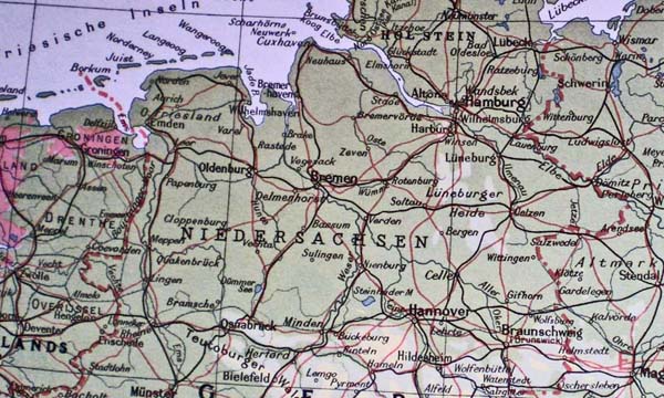
The pink areas are below sea level My mother was born and raised in Wismar on the Ost See (far NE corner of the map). |
Previous - Blog Text - Gallery - Next
|
The pink areas are below sea level My mother was born and raised in Wismar on the Ost See (far NE corner of the map). |